Finally finished it off and uploaded this afternoon. Still a few niggles, but I'm calling it done.
Now some screens of what you get:
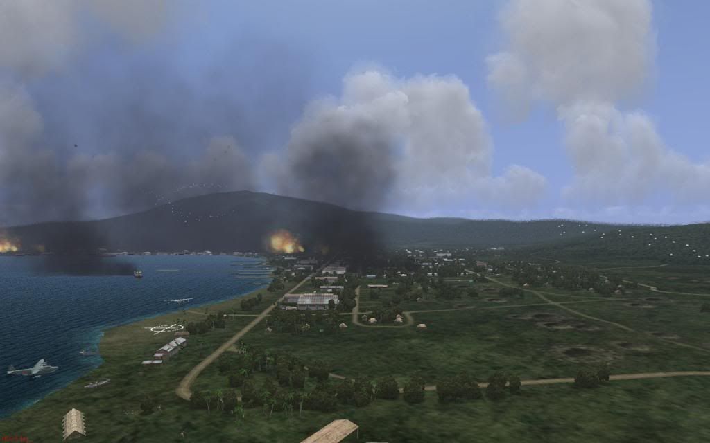
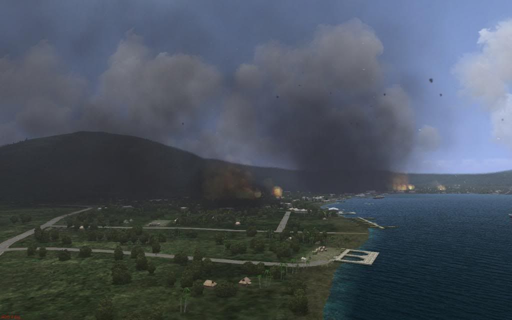
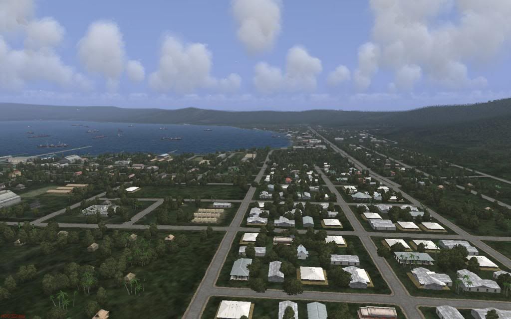
Looking north along Mango Avenue towards Malaguna Road. The seaplane anchorage and compass rose are visible on the left. Parafrags are falling on the town.
NDL wharf, looking back towards Lakunai and Sulphur Creek.
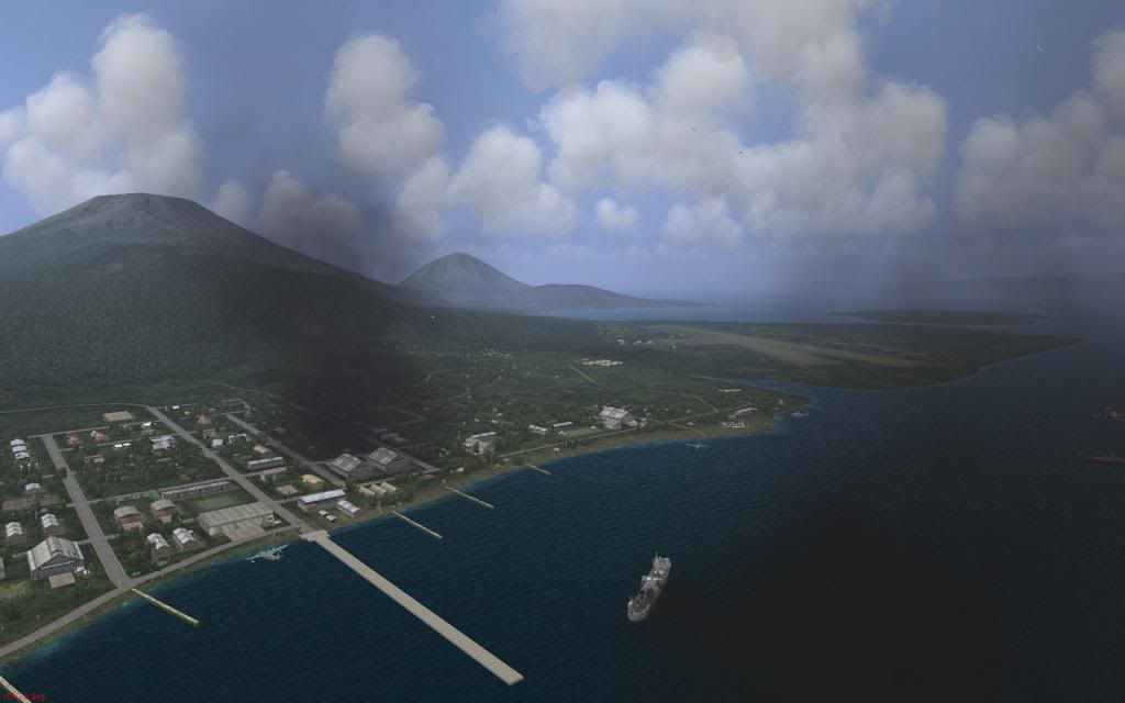
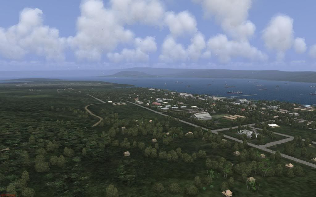
Rabaul west, looking east towards the Customs wharf and dock area.
On a clear day
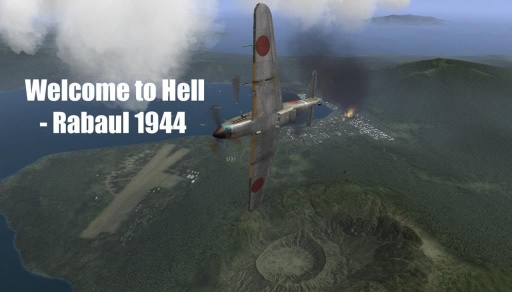
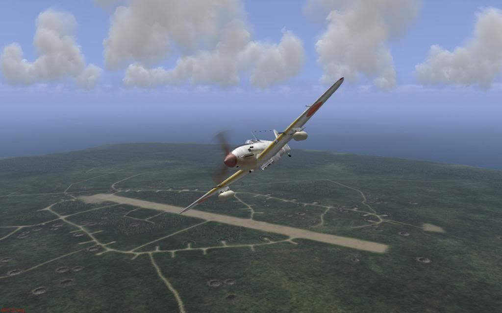
Ki-61 leaves on a hazardous ferry flight from Kavieng. In mid 1943 a formation of thirteen Heins disappeared on just such a trip.
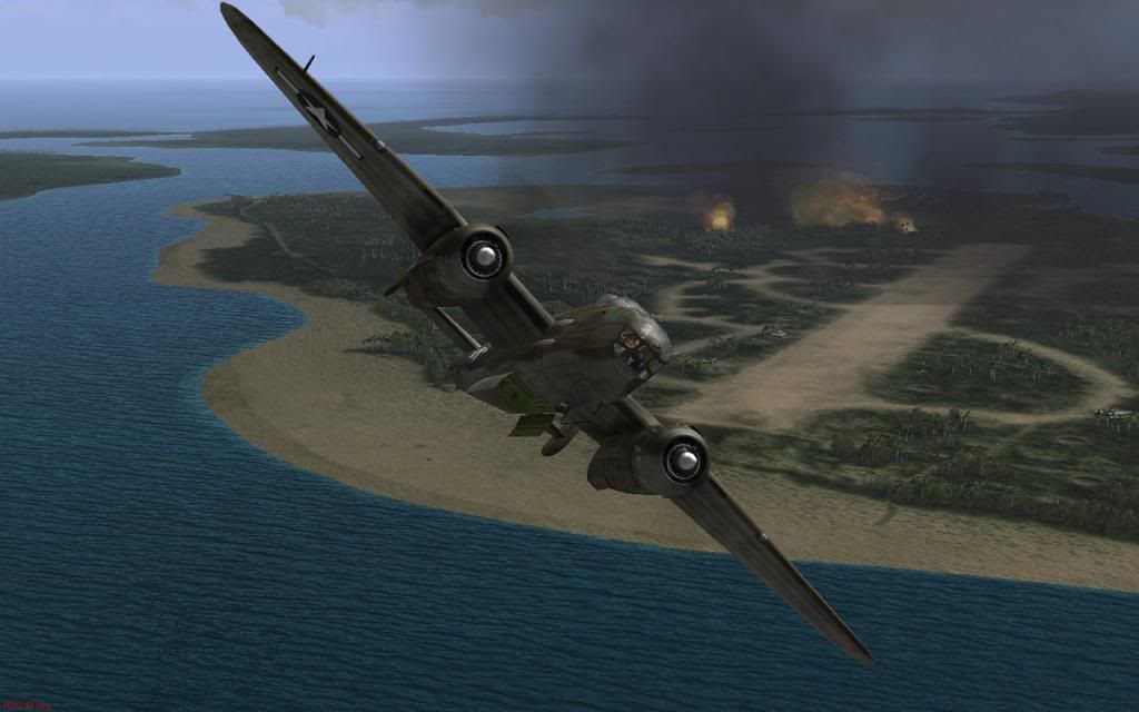
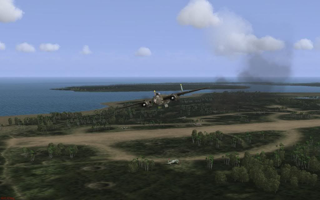
B-25 over Gasmata to the south-west
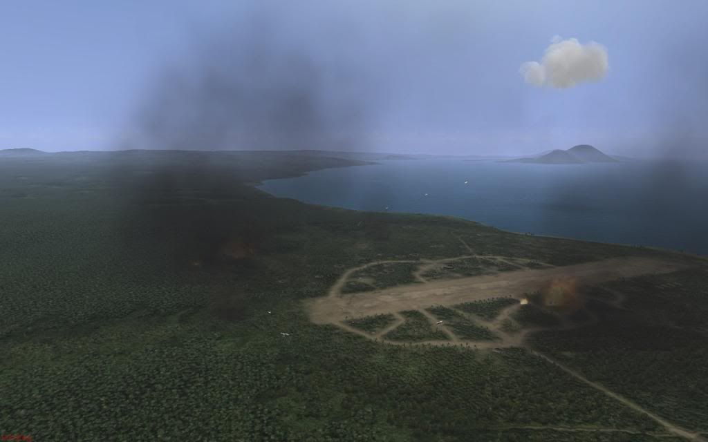
Rapopo fighter strip under attack, south-east of Rabaul
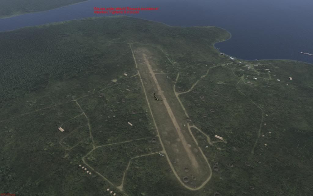
Namanatai on New Ireland.
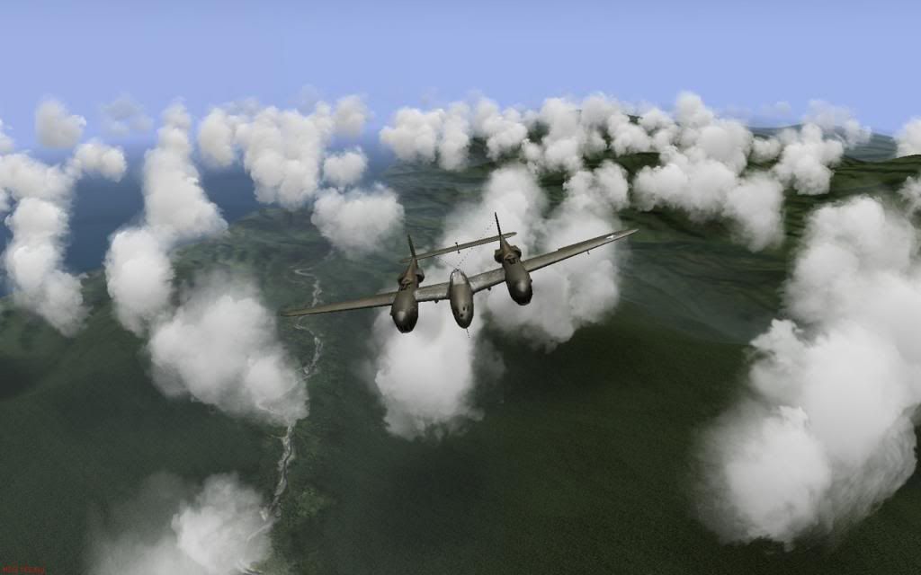
Nissan Island, the Allied base to the east. If you don't love the P-38 yet, you soon will. That second engine is a life saver.
How to get there. The distinctive Kamdaru and Weitin rivers angle across New Ireland and point the way to Green Island. Follow them to the east coast and fly 090 degrees to find your way home. Green Island control recommend a transit altitude of no less than 4000ft or you might miss it. It's tiny.
 http://www.sas1946.com/main/index.php?topic=39938.0
WiP thread here
http://www.sas1946.com/main/index.php?topic=17730.0
